Journey to the Third Dimension
A new tool is online on ProcGenesis– the Simple Height Map Viewer! Upload a height map to view it in 3D, add coloring with gradient maps, and even view your terrain with an optional sea. Then export the texture you’ve created to use as a map, as a poster, or as whatever you want! You can find the Height Map Viewer (HMV) listed on the generators page.

Original Height Map Image


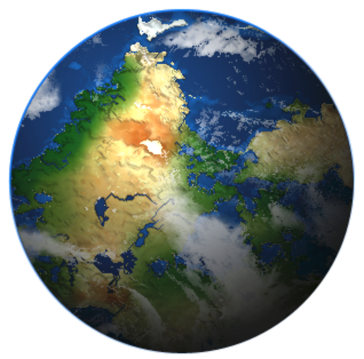
Height Map Converted to 3D with and without Gradient Map

Height Map Texture after Applying Gradient Map
You may be saying to yourself, “That sounds great, but where do I find height maps to use?” There are a few ways to find them:
- Google: Never underestimate the power of Google to find things for you. There are a number of height maps that are just a quick search away. Don’t forget about Google Images either!
- Height map repositories like Depthfields: These are pages that compile height maps for use in any type of 3D work. These are great places to find plenty of maps in one place. Depthfields even has height maps for objects and materials in addition to terrain.
- Make one yourself! Use an image editing program like GIMP or Photoshop to create your own height map. Creating a height map for your world is a great way to flesh out your setting and make it feel more inspired.
Once you’ve uploaded a file to the Height Map Viewer, make sure to play with the settings to get the look you want for your world. There are many different height maps out there and they may need a bit of tweaking to look how you want them to.
WorldGen Updates
You can also now view the Map Legend in both 3D WorldGen views (Plane and Planet). Just press Toggle Legend to show it and press it again to shoo it away. Additionally you can now pan the map in the 3D Plane view using the Pan Map slider. Experiment with the slider until you get the view of the world you’re looking for – put it back at 0 to reset to the original view.
Stay tuned for more ProcGenesis updates coming soon!